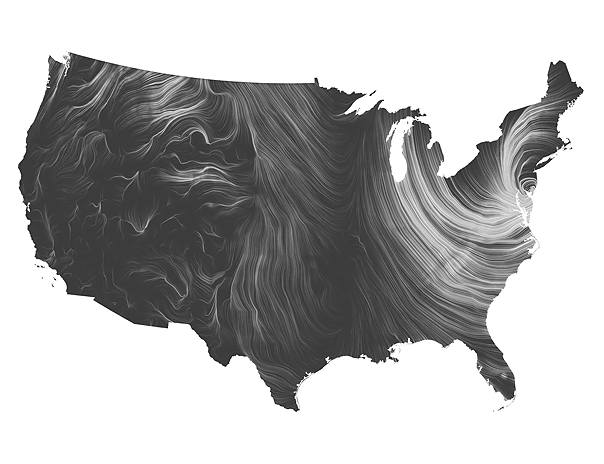
October 29 - Available as 32"x 40" or 17" x 24" or 12" x 17"

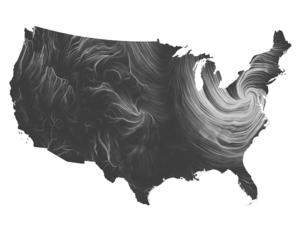
October 30 - Available as 32"x 40" only.

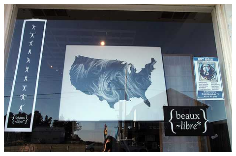
Hurricane Sandy is a storm that touched us all. From the Caribbean to Canada and the United States of America, the effects of the devastation are not yet fully known and will be with us for some time as the world rebuilds again. Two dramatic captures of the 'wind map' are available from the landfall event in the U.S. (Oct. 29) and as the storm moved inland (Oct 30). A sharp contrast between the major physiographic regions of the US is depicted - the mountain ranges in the West, the central Great and Coastal Plains, and the turbulent Appalachian Mountains and East Coast. They tell a tumultous story of hardship, conflict, unity, and hope.


About The Artists

Fernanda Viégas is known for her pioneering work on depicting chat histories and email.

Martin Wattenberg's visualizations of the stock market and baby names are Internet classics.

Viégas and Wattenberg are also known for their visualization-based artwork, which has been exhibited in venues such as the Museum of Modern Art in New York, London Institute of Contemporary Arts and the Whitney Museum of American Art. You can learn more about the artists at hint.fm.


Bespoke Wind Maps

One-of-a-kind custom wind maps of your special date or contiguous US state can be created on request. Wind data is archived hourly at Point.B Studio and earlier dates can be retrieved from the National Weather Service database. Read more about the wind map bespoke edition.

Limited Editions

New editions of wind map are created at the discretion of the artists or as previous editions sell out. Read more about available limited editions.