Agency Hill
Serving Chiloquin at 91.7 MHz
Location: six miles northwest of Chiloquin (geographic coordinates and map).
Pictures were taken in April 2008.
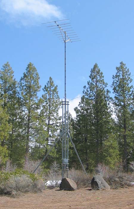
Transmitting Antenna
The installation was simple and foolproof. There was nothing that could easily bend or break. The tower was strong. The AC power drop was made to the tower directly above the meter base. The translator was buried underground in a ferrocement vault where it has continued to operate for more than two decades. Most people would have no idea that sophisticated electronics were operating somewhere beneath their feet.
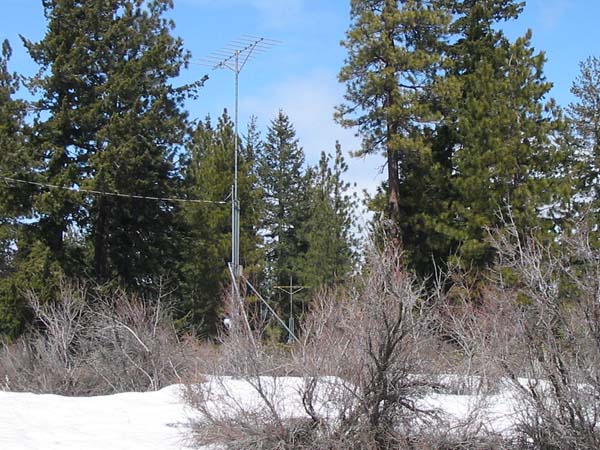
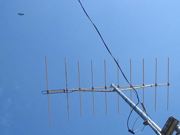
Receiving Antenna
The antenna (visible in the distance) was located 150 feet north of the transmitting antenna. Originally, it picked up the signal from the Walker Mountain translator, 47 miles to the north. Now, it receives directly from King Mountain.
Bald Eagle Nesting Area
The USDA Forest Service delayed the installation of this translator several months in order to protect the bald eagle habitat. Now, more than two decades later, the result of those efforts is an endangered specie success story.
Documents from the FCC Database
(http://www.fcc.gov/fcc-bin/fmq?list=0&facid=62982)
FCC Authorization 2008
Relative Field Polar Plot 2008
Initial License Grant 1984
Engineering Data 1984
Topographic Map
Fort Klamath Quadrangle, U. S. Geological Survey
CONTOUR INTERVAL 20 FEET
Geographic Coordinates from the GPS: 42° 38' 22"N, 121° 56' 5"W (NAD27)
Antenna Height Above Mean Sea Level: 1,541 meters (5,055 feet)