Oak Mountain
Serving Big Bend and Bush Bar at 91.3 MHz
Location: three miles west of Big Bend (geographic coordinates and map).
Pictures were taken in May 2008.
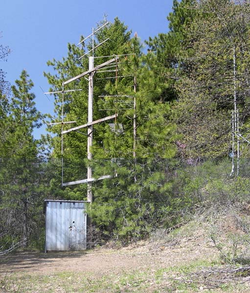
Translator Site
The Indian Springs School in Big Bend maintained this community translator site. The shelter housed translators for three TV channels and KSOR. The modular tower for KSOR's transmitting antennas is somewhat obscured at the right of the picture. The receiving antenna is beyond the edge of the picture, 125 yards northwest, at the top of the hill.
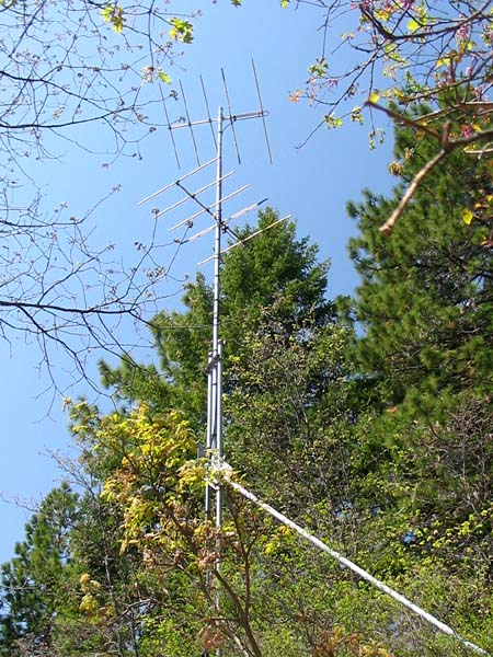
Transmitting Antennas
The XL10-FM1 translator provided nine watts of power to the lower antenna for broadcasting to Big Bend, and one watt to the upper antenna for Bush Bar.
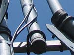
Did you notice the bullet hole through the 2" output pipe mast? I saw that when I was working on it 10+ years ago. It missed the coax by about 1/8". (Todd Cory, email, May 6, 2008)
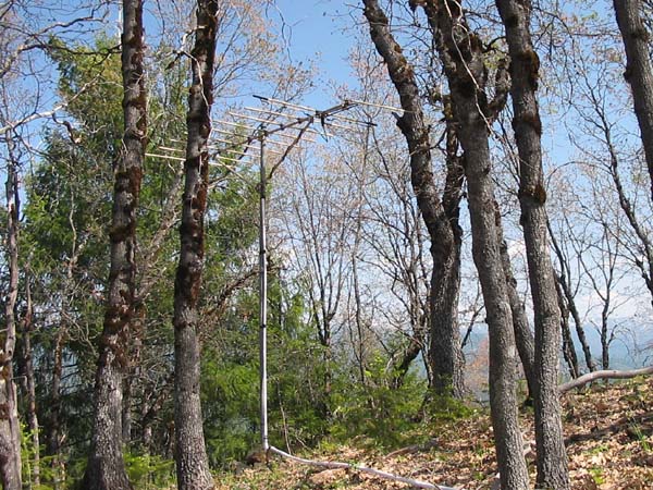
Receiving Antenna
The antenna was aimed directly at Grey Butte on the south side of Mt. Shasta. Trees obscure the view. One side of the reflector element has broken.
Of necessity, the translator was located in the equipment shelter, and the transmitting antennas located nearby in order to minimize the power loss in the coaxial cables. For the receiving antenna to pick up Grey Butte, however, it had to be located at the top of the hill. It was too steep, and there were too many oak trees to take a backhoe to the top without great difficulty and expense. Therefore, we planted the mast by hand with picks and shovels. The installation is similar to the receiving antenna for KSOR's first translator at Fielder Mountain.
One time I was there, I fixed a problem that happened from the weight of the coax running down the hill, which had pulled the conduit and wire out of the antenna mast. Part of the fix was that I wrapped a ton of tape around the conduit and coax to try to fight gravity. It looked from your picture like it was still holding. About 20 wraps of black tape are very strong and last forever. (Todd Cory, email, May 6, 2008)
Documents from the FCC Database
(http://www.fcc.gov/fcc-bin/fmq?list=0&facid=28555)
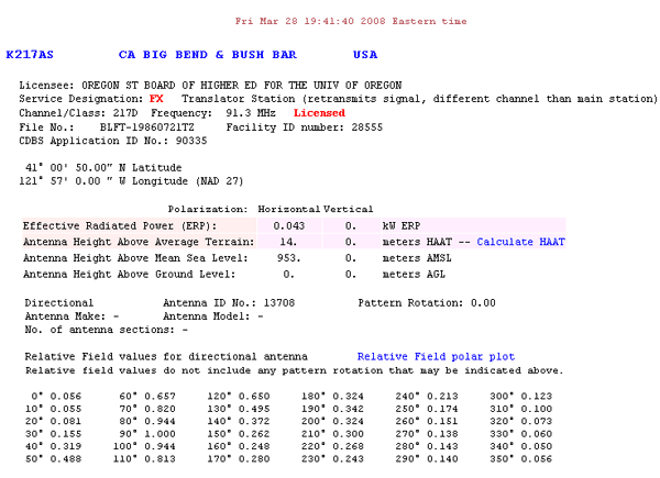
FCC Authorization 2008
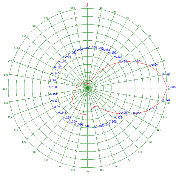
Relative Field Polar Plot 2008
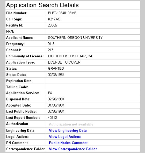
Initial License Grant 1984
Topographic Map
Big Bend Quadrangle, U. S. Geological Survey
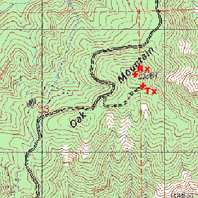
CONTOUR INTERVAL 40 FEET
Geographic Coordinates from the GPS: 41° 01' 21"N, 121° 58' 02"W (NAD27)
Antenna Height Above Mean Sea Level: 1,052 meters (3,450 feet)
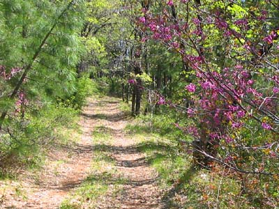
Eastern Rosebud (Cercis Canadensis) in Bloom along the Access Road